
A scenic walk does not need a car, a full day, or a remote trailhead. If you build the route around bus and metro stops, you get something more flexible: a walk you can shorten, extend, or abandon at almost any point without being stranded. The stop becomes the anchor, and the scenery becomes the reason to move between them.
The approach is simple in principle. Pick stops that are close enough to walk between, choose pleasant connecting streets or paths, keep each leg short, and make sure getting home is easy. The rest is planning around weather and daylight. Here is how to put it together.
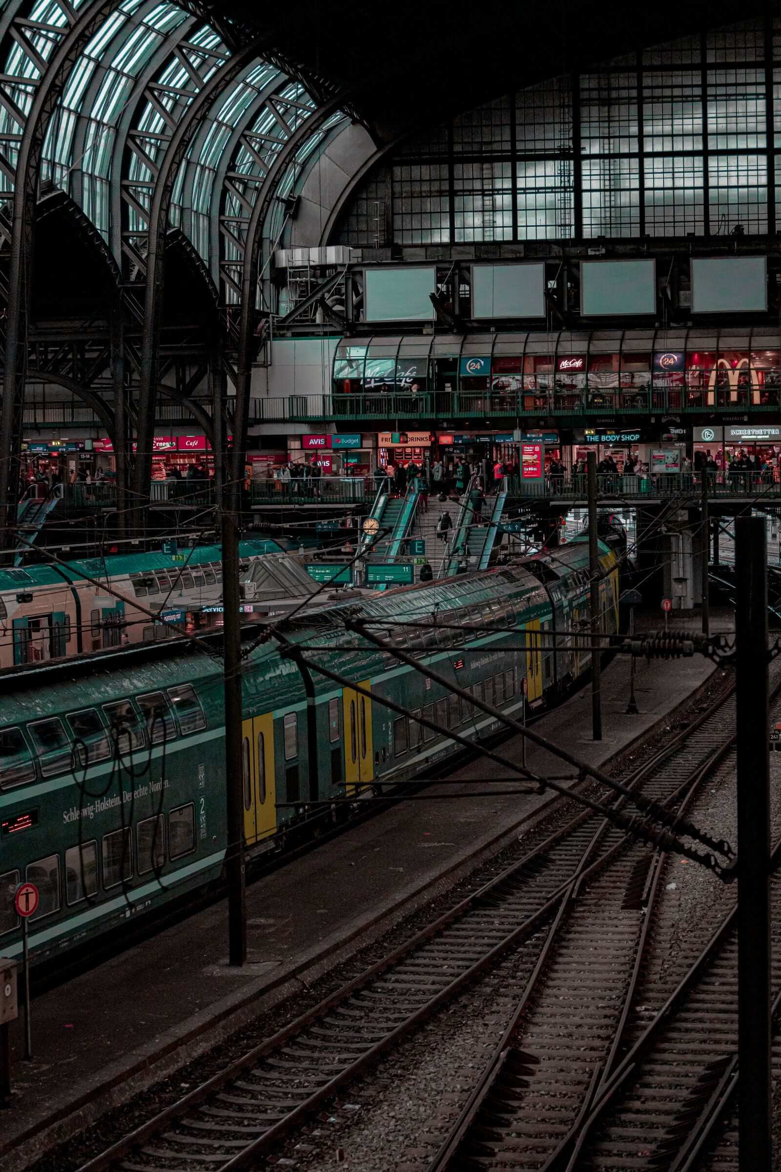
Start With the Stops, Not the Sights
Most people plan a walk by choosing a destination and then figuring out transport. Reverse that. Open a transit map and look for a cluster of stops — bus, metro, tram, or a mix — that sit roughly two to four kilometers apart. That spacing gives you a comfortable leg between stops without turning the outing into a hike.
Look for stops on the same line or on lines that connect easily. A route that follows a single bus line, for example, means you can bail out at any stop and ride the same line home or back to your starting point. Metro stops along one branch offer the same advantage: every station is an exit and a return option.
It also helps to notice what lies between the stops. Green space, water, older neighborhoods, hills with views, or a river path are all good signs. You do not need a famous landmark. A row of mature trees, a quiet residential street with front gardens, or a bridge with a view can carry a walk just fine.
Avoid stops that sit in the middle of large parking lots, industrial estates, or wide arterial roads with no sidewalks. The stop itself may be convenient, but the first and last few hundred meters will be unpleasant, and that shapes the whole memory of the walk.
Choose Connecting Roads and Paths Carefully
Once you have two stops, the quality of the walk depends almost entirely on the line between them. On a map, check for parks, footpaths, canal or river banks, and smaller streets. Then check for the things that ruin a walk: multi-lane roads with no crossing, long stretches of fence, or a route that forces you onto a narrow shoulder.
A practical trick is to look at the route in satellite view rather than only in map view. You can see whether a path is actually a path, whether a park has internal trails, and whether a "shortcut" crosses a rail line or a highway with no bridge. If a direct line looks bad, take a dogleg. A slightly longer route through a residential grid or along a park edge is almost always better than a short one beside fast traffic.
Aim for variety within a single leg: a stretch of park, a stretch of quiet street, and a crossing or viewpoint in between. That rhythm keeps the walk interesting and gives you natural places to pause.
Keep Each Leg Short
The biggest planning mistake is making the first leg too long. If the distance from the station to the first viewpoint is forty minutes, you will be tired before the good part begins, and turning back feels like a failure rather than a choice.
Aim for legs of fifteen to thirty minutes of walking. That is roughly one to two kilometers at an easy pace, depending on hills and crossings. With legs that short, a three-stop walk is about an hour and a half including pauses, and you always have the option of adding one more stop if you feel good.
Short legs also make the walk resilient. If the weather turns, if a path is closed, or if you simply lose interest, the next stop is never far. You can end the walk at any station and still feel like you completed something rather than quit.
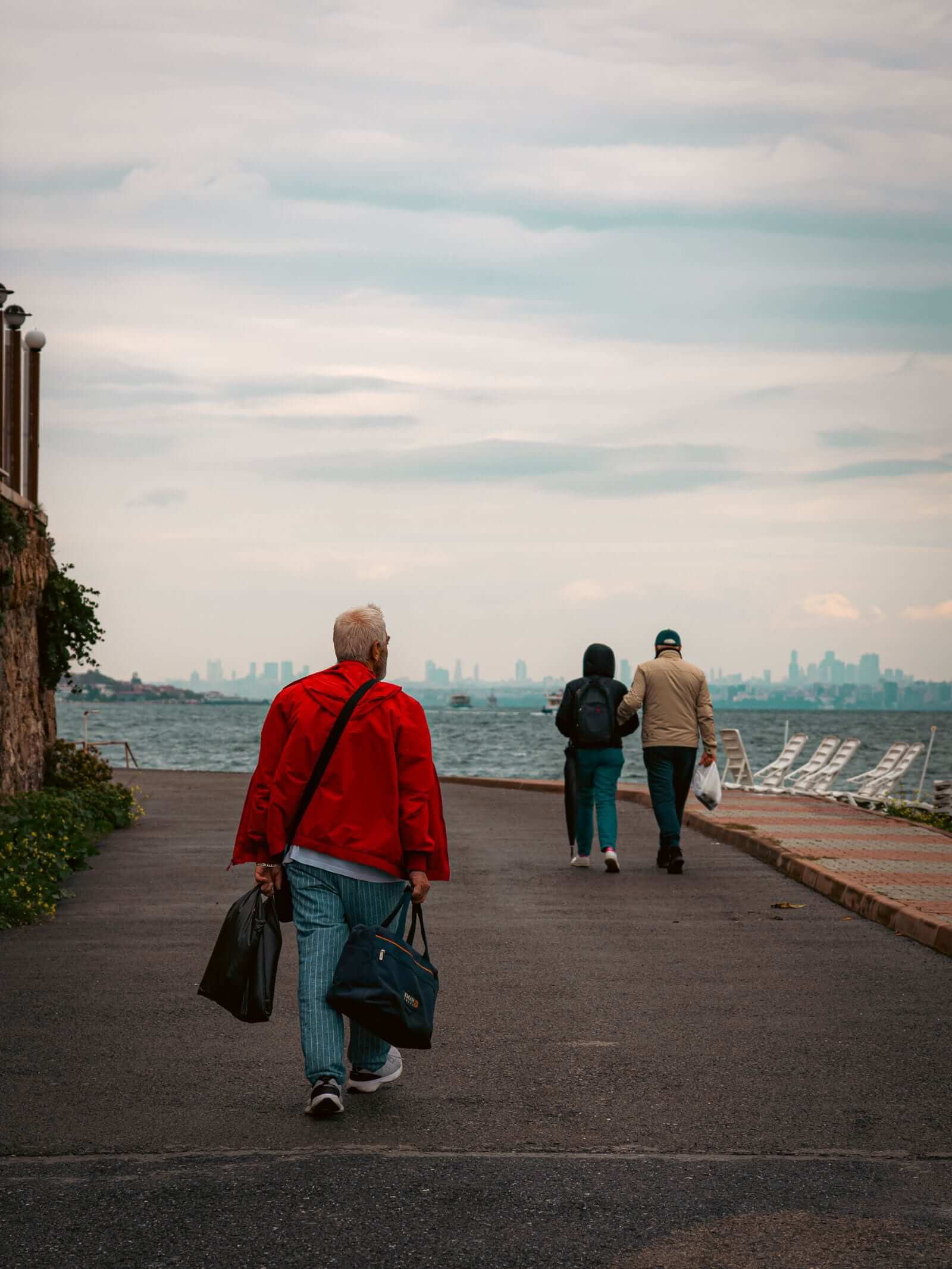
Plan the Return Before You Leave
Return convenience is what separates a relaxing walk from an anxious one. Before you set out, know three things: which line serves each stop, how often it runs, and where it goes.
Check the frequency, not just the existence, of service. A stop with a bus every ten minutes is a safety net; a stop with a bus every hour is a commitment. If service is sparse, plan your walk to end at a stop with better connections, or make sure you have a fallback line nearby.
Also check the direction. It is easy to walk a route and then discover that the return bus goes the long way around or requires a transfer. A quick look at the route map before you leave saves a tedious end to the day. If you are walking a loop, confirm that the loop closes at or near the starting stop, so you do not add an unplanned leg at the end.
Work With Weather and Daylight
A scenic walk is mostly an outdoor activity, so the forecast matters more than the map. Check the hourly forecast rather than the daily summary, and pay attention to wind as well as rain. An exposed riverside path can be miserable in wind even on a dry day, while a sheltered residential route stays pleasant.
Plan the walk so the most exposed section — a bridge, a hilltop, an open park — falls in the middle of your time window, not at the end when you are tired and the weather is turning. If rain is likely, choose a route with frequent stops and short legs, so you can retreat easily.
Daylight is the other limit. In winter, plan around the early sunset and start with enough margin to finish in daylight. A walk that is lovely at noon can feel very different at dusk, especially on paths without lighting. If you are walking in the evening, favor routes along lit streets and near active stops.
A Simple Planning Routine
Put it together in a few steps. Pick two or three stops on the same line, spaced one to two kilometers apart. Trace a route between them that favors parks, paths, and quiet streets, and check it in satellite view for barriers. Confirm bus or train frequency at each stop and the direction home. Check the hourly forecast and the sunset time. Then walk, and let the stops be your exits.
The result is a walk that feels spontaneous but never leaves you stuck — scenery on the way, and a ride home whenever you want one.